Rbizo.com
Arcpy and arcgis

Rubriek: Textual/Printed/Reference Materials - Boek
Prijs: € 47.99
Rating: 0/5
☆
☆
☆
☆
☆
Verzending:
2 - 3 weken
2 - 3 weken
Inhoudsopgave:
Omschrijving:
COM051360
- 1 Bekijk alle specificaties
Beste alternatieven voor u.

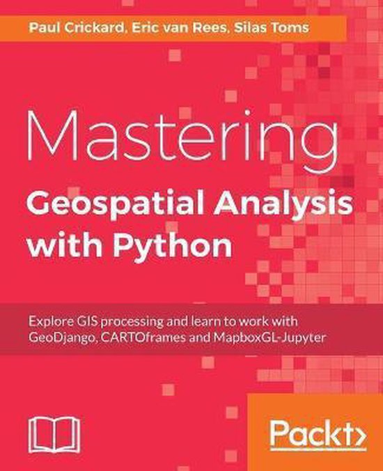
Mastering Geospatial Analysis with Python
Rating: 0 / 5 | Prijs: € 51.99
Python comes with many libraries and tools that help you work on geoprocessing tasks without investing in expensive tools this book introduces you to new libraries that perform geospatial and statistical analysis and data management it uses examples that explain how python v3 differs from v2 and
2 - 3 weken .. MEER INFO

PostGIS in Action, Third Edition
Rating: 0 / 5 | Prijs: € 54
Postgis in action third edition teaches you to solve real world geodata problems it first gives you a background in vector raster and topology based gis and then quickly moves into analyzing viewing and mapping data you ll learn how to optimize queries for maximum speed simplify geometries
Uiterlijk 14 november in huis .. MEER INFO
Python for Geospatial Data Analysis
Rating: 0 / 5 | Prijs: € 56.27
In spatial data science things in closer proximity to one another likely have more in common than things that are farther apart with this practical book geospatial professionals data scientists business analysts geographers geologists and others familiar with data analysis and visualization
Uiterlijk 14 november in huis .. MEER INFO
Product specificaties:
Oorspronkelijke releasedatum: 26 februari 2015
Aantal pagina's: 205
Hoofdauteur: Silas Toms
Hoofduitgeverij: Packt Pub Ltd
Editie: ed
Product breedte: 75 mm
Product lengte: 93 mm
Verpakking breedte: 75 mm
Verpakking hoogte: 235 mm
Verpakking lengte: 93 mm
Verpakkingsgewicht: 189 g
EAN: 9781783988662