Introduction to geographical informat

Op voorraad. Voor 23:59 uur besteld, donderdag in huis
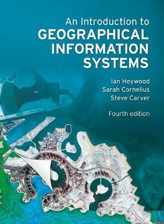
The fourth edition of this highly regarded and successful text continues to provide a clear and accessible introduction to the world of GIS for students and professionals. Focusing on the practical applications of GIS, this book features a wealth of multi-disciplinary case studies and examples of GIS in practice, demonstrating how it is used worldwide and within a variety of different industries.
The new edition has been substantially revised and updated to include coverage of the latest advances in GIS technology and applications (particularly web based and mobile applications) and to provide pointers to recent research and publications.
Features
A striking full-colour design enriches the photographs, maps, diagrams, and screenshots to provide a highly visual illustration of GIS output and applications. A selection of international case studies written by specialists and practitioners provides a detailed picture of how GIS is used across a variety of different disciplines and industries. Practice boxes demonstrate how GIS tools and techniques are applied in the real world across a range of sectors including business, environmental management, tourism and planning. Theory boxes provide consolidation of important issues and concepts. Reflection boxes, included at the end of each main section, enable you to check your progress and further explore the key issues. A range of useful revision material at the end of each chapter includes questions, text and web-based activities and a guide to further reading. A dedicated website includes:--Activities and revision questions for self-study or discussion
--Multiple choice questions to test understanding
--Web links for further investigation
--Datasets offering practice opportunities
An Introduction to Geographical Information Systems is suitable for students of Geographical Information studies at all levels, from undergraduate to professionals retraining in GIS.
About the authors
Ian Heywood is a freelance consultant and Director of the Ideas Academy Ltd. Previously he was Director of Director of Growing Business and Skills for Scottish Enterprise Grampian, and has also been Director of Open and Distance Learning for Robert Gordon University, Aberdeen, and a Senior Lecturer in GIS at Manchester Metropolitan University.
Sarah Cornelius is a Lecturer in the School of Education at the University of Aberdeen, specializing in adult and online learning. She was previously an Associate Lecturer for the Open University and taught GIS at Manchester Metropolitan University and the Free University of Amsterdam.
Steve Carver is a Senior Lecturer in the Department of Geography at the University of Leeds where he is Director of Taught Postgraduate Programmes including Leeds’ successful MSc in GIS. Steve is also Director of the Wildland Research Institute. He has 25 years experience with GIS application, development and training.
Additional student support at www.pearsoned.co.uk/heywood.
The fourth edition of this highly regarded and successful text continues to provide a clear and accessible introduction to the world of GIS for students and professionals. With an increased focus on the practical applications of GIS, the new edition features a wealth of new multi-disciplinary case studies and examples of GIS in practice, demonstrating how it is used worldwide and within a variety of different industries.
Furthermore, the new edition has been substantially revised and updated to include coverage of the latest advances in GIS such as web and mobile applications.
An Introduction to Geographical Information Systems is suitable for students of Geographical Information studies at all levels, from undergraduate to professionals retraining in GIS.
- 1 Bekijk alle specificaties


Taal: en
Bindwijze: Paperback
Oorspronkelijke releasedatum: 30 juni 2011
Aantal pagina's: 480
Kaarten inbegrepen: Nee
Illustraties: Nee
Hoofdauteur: Ian Heywood
Tweede Auteur: Sarah Cornelius
Co Auteur: Steve Carver
Hoofduitgeverij: Pearson Education Limited
Originele titel: An Introduction to Geographical Information Systems
AI-gegenereerd: Nee
Dyslexievriendelijk: Nee
Editie: 4
Extra groot lettertype: Nee
Product breedte: 198 mm
Product hoogte: 32 mm
Product lengte: 266 mm
Studieboek: Ja
Verpakking breedte: 196 mm
Verpakking hoogte: 19 mm
Verpakking lengte: 264 mm
Verpakkingsgewicht: 838 g
eWaste: Nee
EAN: 9780273722595