Rbizo.com
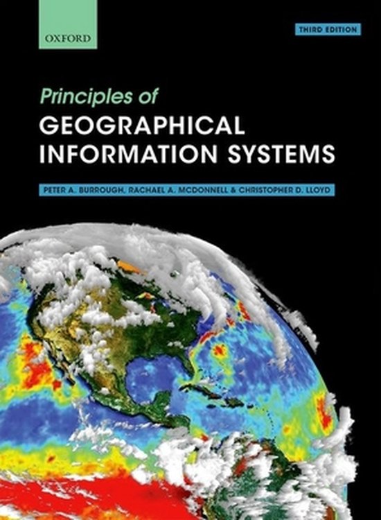
Principles of geographical information systems

Rubriek: Textual/Printed/Reference Materials - Boek
Prijs: € 59.92
Rating: 0/5
☆
☆
☆
☆
☆
Verzending:
Uiterlijk 25 februari in huis
Uiterlijk 25 februari in huis
Inhoudsopgave:
Omschrijving:
Geographical data are used in so many aspects of our lives today, ranging from disaster relief operations through to finding directions on our mobile phones. We can all be data collectors, adding locational information as we capture digitally our day-to-day experiences. Geographical Information Systems (GIS) are the software tools that facilitate this, turning the raw data into useful information that can help us understand our worlds better.
Principles of Geographical Information Systems presents a thorough overview of the subject, exploring both the theoretical basis of GIS, and their use in practice. It explains how data on the world are converted into digital form and the analytical capabilities used to bring understanding to a range of areas of interest and issues.
Spatial data are usually based on two, dichotomous paradigms: exactly defined entities in space, such as land parcels and urban structures, or the continuous variation of single attributes, such as temperature or rainfall. The adoption of one or the other influences how the geographical data are structured in the GIS and the types of analysis possible. A further area of focus in the book concerns the problems of data quality and how statistical errors in spatial data can affect the results of spatial modelling based on the two paradigms of space. Fuzzy logic and continuous classification methods are presented as methods for linking the two spatial paradigms. The book concludes with an overview of current developments and trends in providing spatial data to an ever-expanding global community of users.
Online Resource Centre
The Online Resource Centre to accompany Principles of Geographical Information Systems features:
For students:
DT Links to useful software and software providers for GIS
DT Datasets with instructions of how to repeat analyses presented in the book using widely-used software
For registered adopters of the book:
DT Figures from the book, available for download
- Bekijk alle specificaties
Beste alternatieven voor u.

An Introduction to Geographical Information Systems
Rating: 4 / 5 | Prijs: € 27.66
The third edition of this successful text continues to provide a clear practical and accessible introduction to the world of geographical information systems a selection of new features helps to explain and demonstrate how gis are actually used across a variety of disciplines and within a range o
Uiterlijk 28 februari in huis .. MEER INFO

How to Lie with Maps, Third Edition
Rating: 0 / 5 | Prijs: € 22.13
An instant classic when first published in 1991 how to lie with maps revealed how the choices mapmakers make consciously or unconsciously mean that every map inevitably presents only one of many possible stories about the places it depicts the principles mark monmonier outlined back then remain
Uiterlijk 25 februari in huis .. MEER INFO

How to Make Maps
Rating: 0 / 5 | Prijs: € 43.3
The goal of how to make maps is to equip readers with the foundational knowledge of concepts they need to conceive design and produce maps in a legible clear and coherent manner drawing from both classical and modern theory in cartography the goal of how to make maps is to equip readers with t
2 - 3 weken .. MEER INFO
Product specificaties:
Taal: en
Bindwijze: Paperback
Oorspronkelijke releasedatum: 23 april 2015
Aantal pagina's: 330
Illustraties: Nee
Hoofdauteur: Professor Peter A. Burrough
Tweede Auteur: Rachael A. Mcdonnell
Co Auteur: Christopher D. Lloyd
Hoofduitgeverij: Oxford University Press
Editie: 3
Extra groot lettertype: Nee
Product breedte: 179 mm
Product hoogte: 48 mm
Product lengte: 253 mm
Studieboek: Ja
Verpakking breedte: 195 mm
Verpakking hoogte: 19 mm
Verpakking lengte: 267 mm
Verpakkingsgewicht: 748 g
EAN: 9780198742845